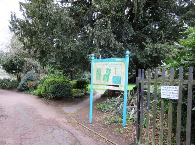

Barnet Council’s latest cost-cutting proposal is to end the long-standing practice of locking up gates to parks, gardens and car parks at nightfall.
Continue reading Security to be withdrawn from some parks & gardens


Barnet Council’s latest cost-cutting proposal is to end the long-standing practice of locking up gates to parks, gardens and car parks at nightfall.
Continue reading Security to be withdrawn from some parks & gardens
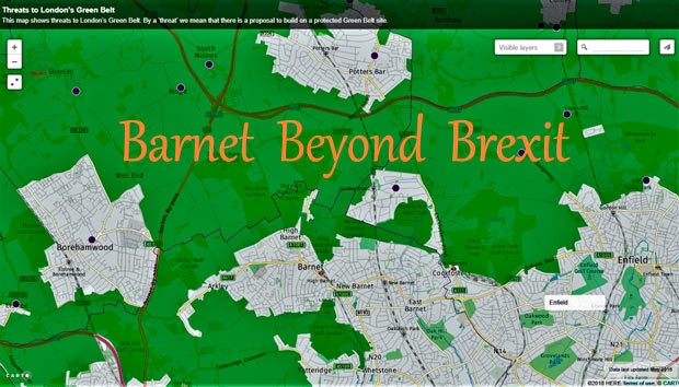

Chipping Barnet is surrounded on three sides by Green Belt – virtually unspoiled open countryside from Hadley Wood in the east to Whitings Hill in the west and south along the valley of the Dollis Brook. Together with substantial areas of Metropolitan Open Land (such as Tudor Park), surviving farmland (such as the Whalebones estate), several attractive parks and many street trees, we are lucky to have so much greenery. It helps give our area its special identity.
Continue reading Barnet Beyond Brexit -Saving our green spaces
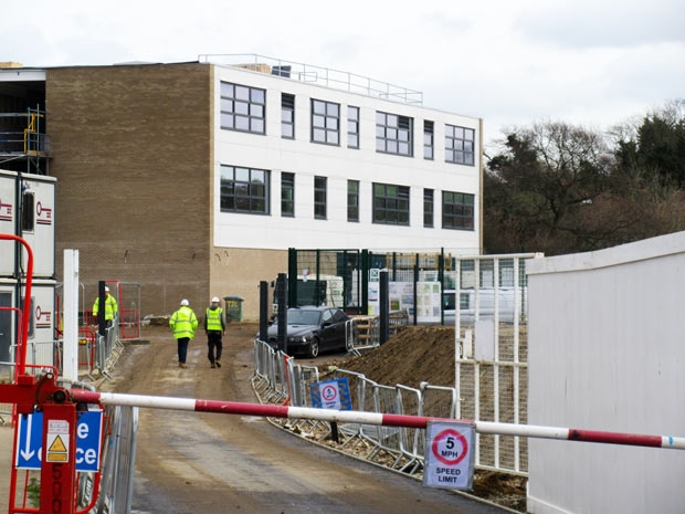

Ark Pioneer Academy, High Barnet’s new secondary school opening in September, has started holding drop in sessions for potential parents and pupils – heightening the debate about its impact on other nearby schools.


Staff and sales assistants at the Spires shopping centre are keen to publicise the location of a defibrillator that has been installed at the High Street entrance with the help of a £500 donation from the Barnet Residents Association.
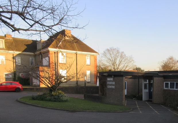

Resident guardians who have had temporary homes in the former Marie Foster Centre in Wood Street, Barnet, are moving out following the approval of plans to build a 100-room care home on the site.
Continue reading Demolition to start soon at Marie Foster site
Darlands Conservation Trust
The previous update of 20th December 2018 referred to the Trust that had been set up on 4th September 2017 by the London Borough of Barnet. The trustees included representatives of some local Residents Associations, The London Wildlife Trust and 2 local councillors. The area is described in detail in Rambles Round Barnet Volume 2 Walk 6.
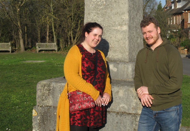

Plans are afoot – if funding can be obtained from the Heritage Lottery Fund – to re-start an archaeological investigation in a renewed attempt to find the precise site of the 1471 Battle of Barnet.
Continue reading Bid to resume Battle of Barnet archaeological dig


On 29 March the UK is likely to withdraw from the EU. What impact will this have on High Barnet, New Barnet, Arkley, Underhill and other parts of our Borough?
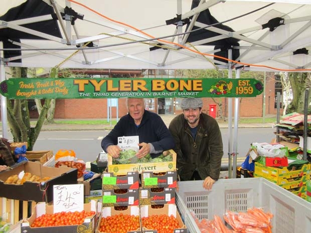

David and Tyler Bone are celebrating the 60th anniversary of the opening of the family’s fruit and vegetable stall at Barnet Market.
Continue reading Fourth-generation family pitch at Barnet Market
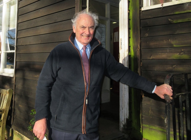

Trustees for the fields around Whalebones, where just over 150 new homes are planned, say they believe the wishes of the former owner, the late Gwyneth Cowing, will be honoured.
Continue reading Trustees plan lasting memorial to Barnet philanthropist


Barnet sculptor John Somerville, who has captured the image of countless rock stars and writers, is facing what he says is a daunting challenge.


For our spring public forum, the Barnet Society has arranged for an expert panel to answer questions of local interest on key issues such as the future of education and training, prospects for local employment, plans for new housing and future safeguards for the Green Belt.


Chipping Barnet foodbank is currently experiencing a spike in demand following the introduction of universal credit which is resulting in some social security claimants finding themselves caught out by the loss of previous benefits.
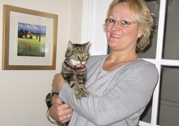

Well over £1,200 has been donated already by well-wishers towards the cost of a memorial to the 17-year-old tabby Millie who made friends with countless admirers at the Spires shopping centre.
Continue reading Plans for memorial to Millie, High Barnet’s feline celebrity
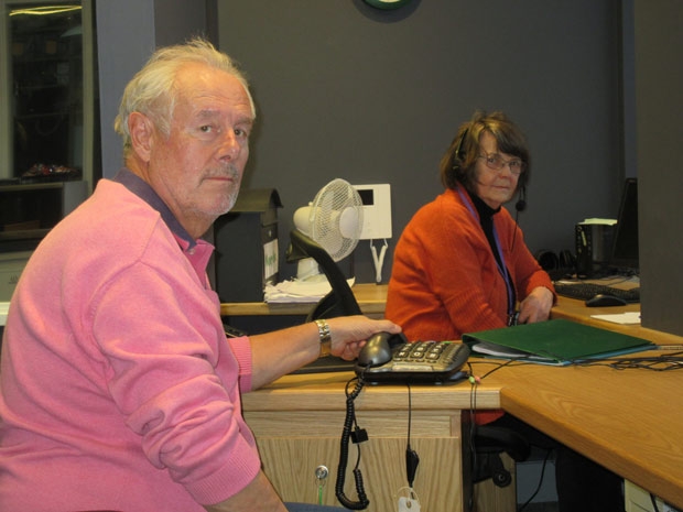

From its new call centre at Bowes Park, volunteers from the North London Samaritans are stepping up their efforts to reach out to help anyone troubled by personal or emotional problems and to advise those most at risk of suicide.
Continue reading Samaritans reaching out to prevent suicidal thoughts
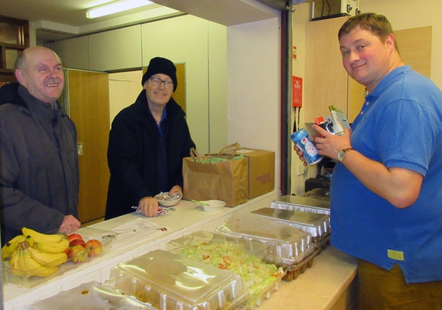

Every Sunday this winter St Mark’s Church, Barnet Vale, becomes a night shelter for the homeless – “our contribution to helping the weakest”, says the Vicar, the Reverend Tristan Chapman.
Continue reading Full house at Barnet homeless night shelter
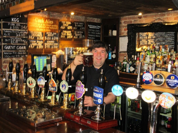

Gary Murphy, landlord at one of High Barnet’s highly-rated real ale pubs, the Mitre, is preparing for the next round of an ongoing campaign to force the pub owners to give publicans of tied houses a fairer deal on rents and the price and choice of beers.
Continue reading Campaigning to save traditional public houses
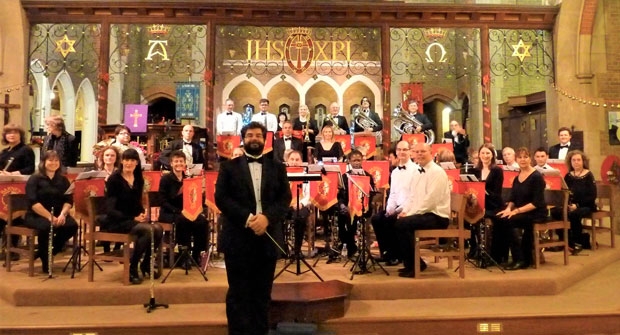

Barnet Band, originally the High Barnet Foresters’ Brass Band, which started performing in 1889 – with just 15 instruments that had cost £42 – is about to reach its 130th anniversary.
Continue reading Barnet Band celebrates its transformation from brass to wind
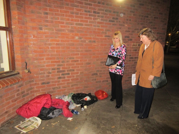

Chipping Barnet Residents Forum has been given an assurance that Barnet Council will take action to remove up to three homeless men who bed down each night in alcoves and under bay windows outside Chipping Barnet Library in Stapylton Road.
Continue reading Barnet Councillors’ pledge to tackle rough sleepers and street drinkers
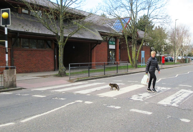

High Barnet’s most precocious feline – Millie, the 17-year-old tabby that has made a name for herself at the Spires shopping centre – is clocking up ever more online fans.
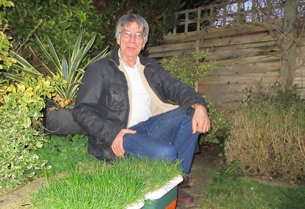

Barnet’s shock 1-0 defeat of Sheffield United – to reach the fourth round of the FA Cup – has re-awakened tales of other memorable matches from the years Barnet played at the Underhill stadium before the club moved to Edgware in 2013.
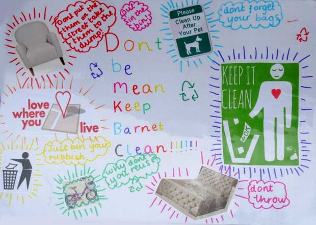

“Don’t be mean, keep Barnet clean” is the message on posters which have been appearing outside parks and on street signs around Barnet in a do-it-yourself campaign by local youngsters.
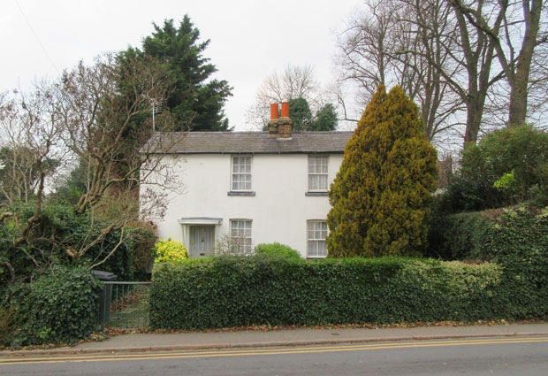

A woodland walkway, a healing garden and children’s play area are among the latest proposals for inclusion in the fields and woods that make up the Whalebones estate in Wood Street, Barnet, where developers are proposing to build around 150 new homes.
Continue reading Plans for houses and public parkland in Whalebones
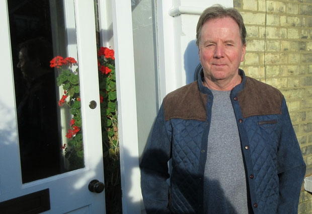

Customers and friends have been paying tribute to High Barnet’s popular milkman, Tam Hughes, whose franchise with Milk and More was terminated at short notice after he had been delivering milk for over 30 years. A collection to say “thank you” has already raised £220 among former customers in Byng Road and Wentworth Road.
Continue reading Farewell to Tam the Milkman – end of an era
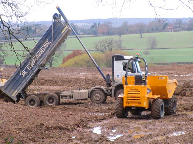

Earthworks remodelling Barnet golf course For some weeks past a constant stream of tipper lorries has been unloading top-soil and sub-soil at the northern end of the Old Fold Manor Golf Club, Hadley Green, where extensive landscaping of the golf course is about to start.
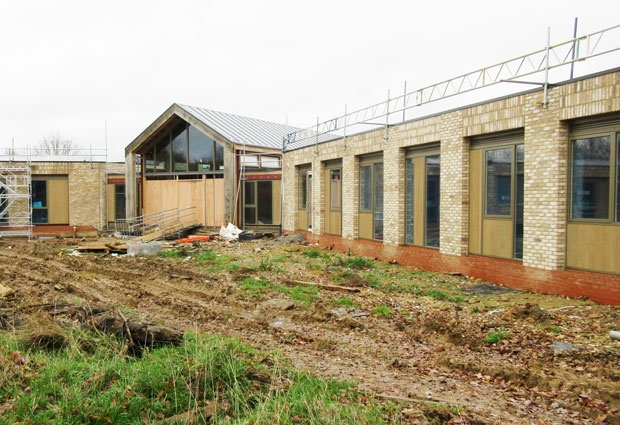

Noah’s Ark Children’s Hospice is rapidly reaching completion in the grounds of the nature reserve maintained by Barnet Environment Centre in Byng Road, Barnet.
Continue reading State-of-the-art care promised at children’s hospice


“Come on you Bricks” is now rivalling the Barnet football chant of “Up the Bees” as supporters of Hadley Football Club promote their much-improved recent performances and refurbished football ground.


Many of the Royal Mail post boxes around Barnet, Potters Bar and Brookmans Park have been decorated for Christmas with a seasonal display of knitted animals in order to raise money for the RSCPA rescue centre at Southridge.
Continue reading Posting a letter helps animal rescue centre
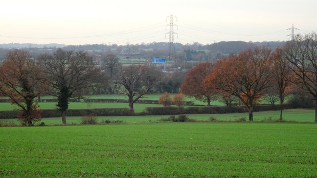

Hertsmere Council is consulting on the possibility of building up to 2,620 new homes plus new places of work between Wrotham Park and Potters Bar, westwards as far as South Mimms and eastwards beyond M25 junction 24. This would have a huge impact on our Green Belt.
Continue reading Building Threat on Potters Bar & South Mimms Green Belt
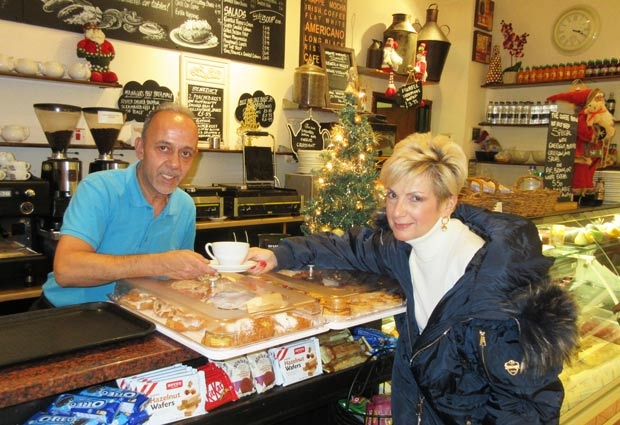

SaveTheHighStreet.org – which is campaigning to help shopping centres that are facing challenging times – is to hold a series of advice sessions in High Barnet on Wednesday 12 December.
A1 pitstop posted a comment on A dozen full English breakfasts served in the first couple of hours at the Corner Cafe – a new business in a popular venue
Sharon Brito posted a comment on A dozen full English breakfasts served in the first couple of hours at the Corner Cafe – a new business in a popular venue
Will posted a comment on A dozen full English breakfasts served in the first couple of hours at the Corner Cafe – a new business in a popular venue
Keith West posted a comment on Star Pubs say “high level of interest” in re-opening Black Horse but mounting local concern over pub’s continued closure